Landiscor Real Estate Mapping
Have a Question? Build Your Map
  • Home
  • Find A Market
  • Aerial Wall Murals
    • Overview
    • Market Data Model
    • Gallery
    • Custom Options
    • UltimateMetal
    • Order Process
    • Installation
    • FAQ
    • Buy a Wall Map Now
  • Rolled Maps
    • Overview
    • Market Data Model
    • Custom Options
    • Order Process
    • FAQ
    • Buy a Poster Now
  • Digital Imagery
    • Overview
    • Specifications
    • Partnerships
    • Applications
    • Order Process
    • Historicals
    • FAQ
  • About Us
    • Who We Are Today
    • History / Evolution
    • Industries
    • Contact Us
    • Image Craft
  • Shop
  • Cart / $0.00
    0
    Cart

    No products in the cart.

2015 Orange County Aerial Wall Mural Before

Published August 3, 2015 at 1200 × 578 in Aerial Market Map: Landiscor Turns Digital Images into the Standard in Market Mapping
2015 Orange County Aerial Wall Mural Before

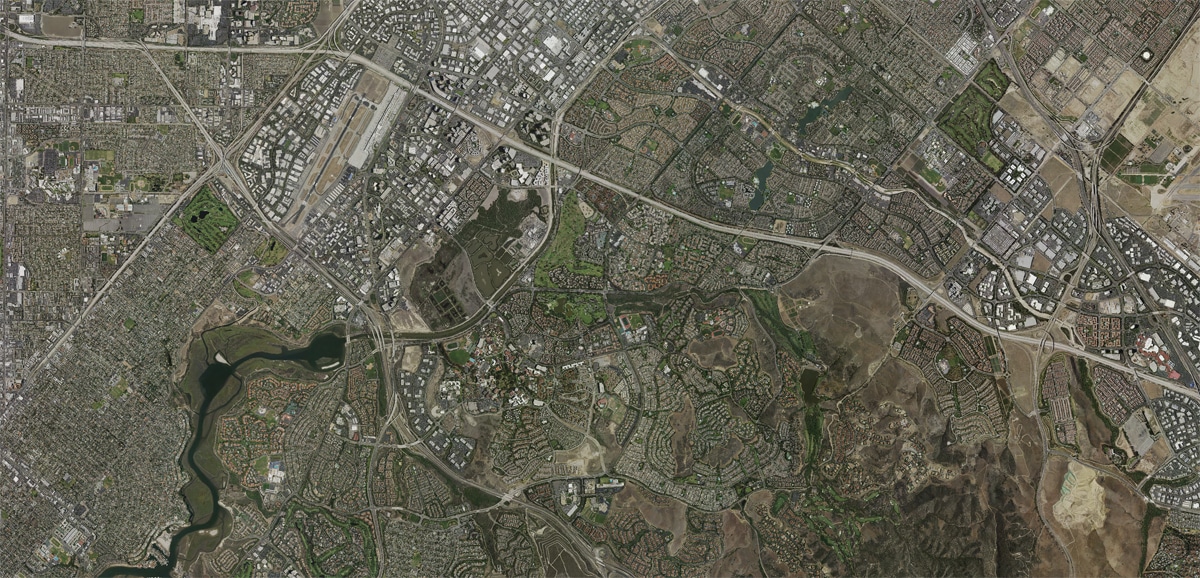
Sample of Orange County imagery before adding Landiscor’s 10 Layer GIS Market Data transforming it from just an aerial to a highly valuable and versatile Aerial Wall Map Mural.

Both comments and trackbacks are currently closed.
← Previous
Copyright 2025 © Landiscor. All Rights Reserved. Website Design by N-ergizing Websites, LLC.
  • Home
  • Find A Market
  • Aerial Wall Murals
    • Overview
    • Market Data Model
    • Gallery
    • Custom Options
    • UltimateMetal
    • Order Process
    • Installation
    • FAQ
    • Buy a Wall Map Now
  • Rolled Maps
    • Overview
    • Market Data Model
    • Custom Options
    • Order Process
    • FAQ
    • Buy a Poster Now
  • Digital Imagery
    • Overview
    • Specifications
    • Partnerships
    • Applications
    • Order Process
    • Historicals
    • FAQ
  • About Us
    • Who We Are Today
    • History / Evolution
    • Industries
    • Contact Us
    • Image Craft
  • Shop