
")
")
")

Home / Shop / Texas
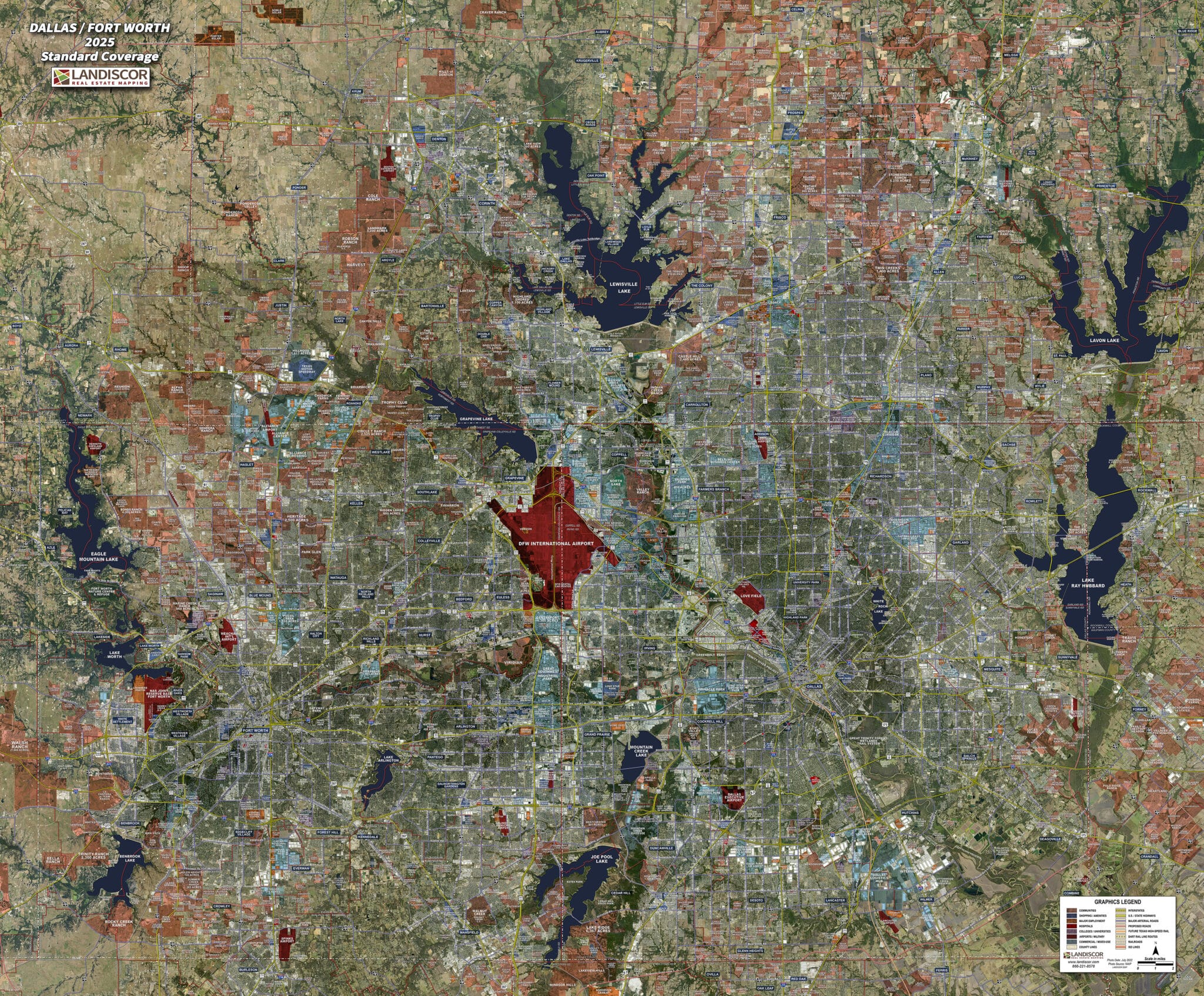
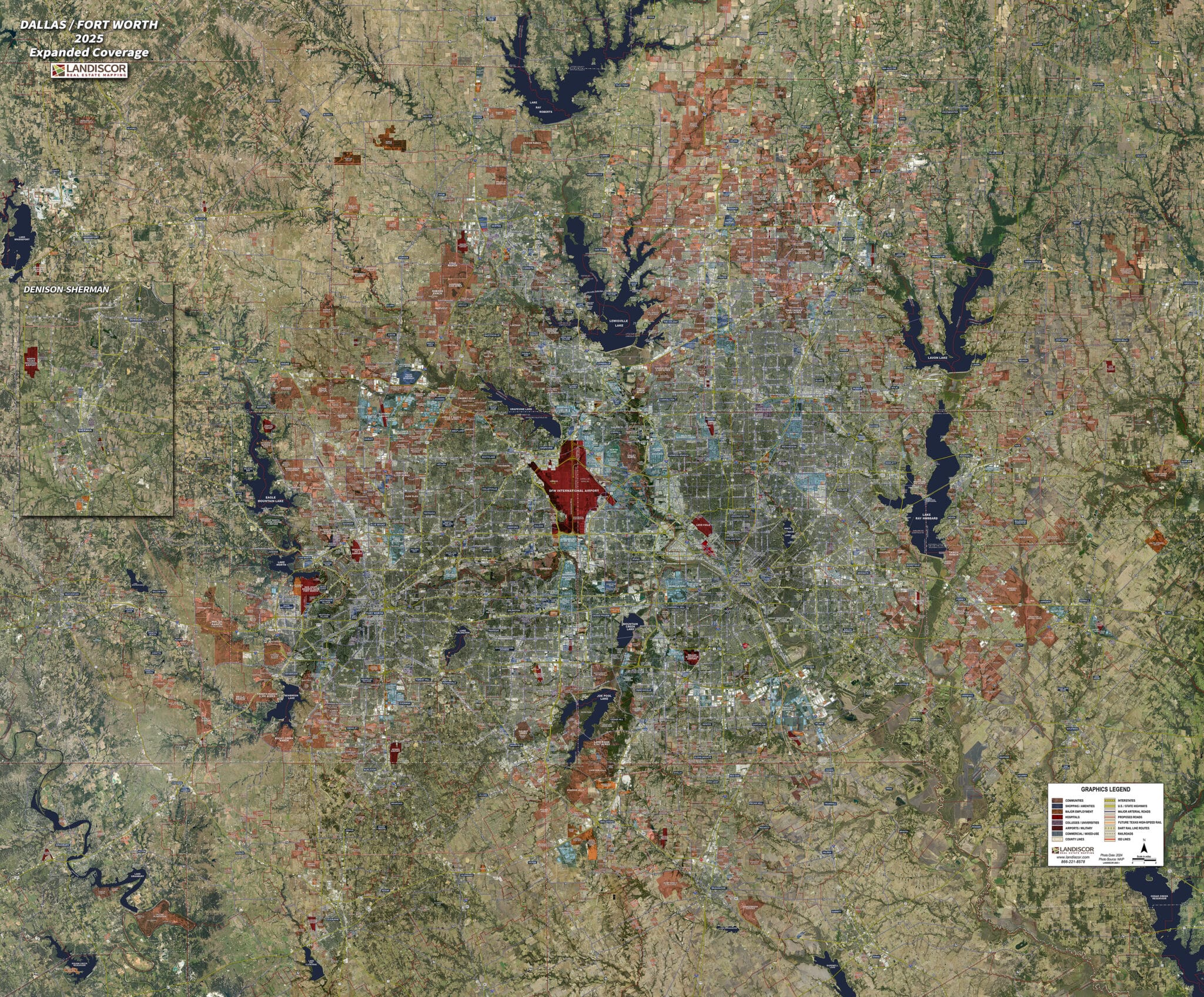
Dallas / Fort Worth (Standard) – Rolled Aerial Map
The 2025 Dallas/Fort Worth Rolled Aerial Map highlights hundreds of market data elements embedded into the industry’s only proprietary GIS model built to assist real estate professionals, developers, utilities, and governments. Use of Landiscor’s 2025 Dallas/Fort Worth Rolled Aerial Map will:
- Elevate your market credibility and brand image
- Display compelling visual information for all your meetings
- Demonstrate mastery of local market environments
Market Extents:
– North: Aubrey
– South: Mansfield
– East: Rockwall
– West: Pelican Bay
Print Scale:
– Professional: .85” = 1 mile
– Classic: .56” = 1 mile
– Poster: .5” = 1 mile
Delivery:
– Typically 3-5 Business Days