PhotoMapper
Landiscor’s Easy-to-Use Aerial Mapping Software – PhotoMapper 7
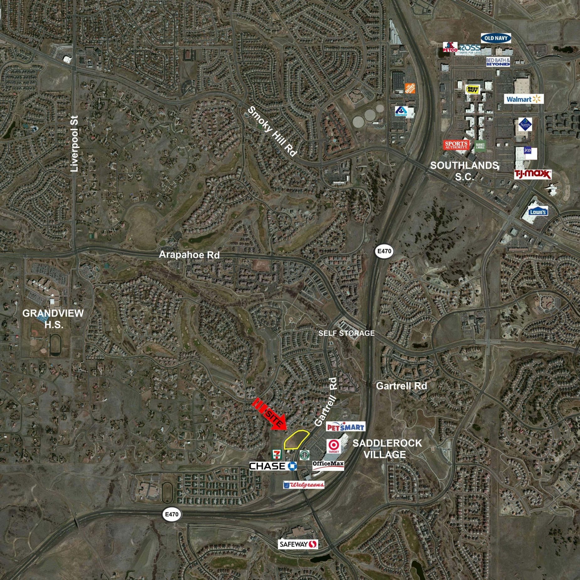
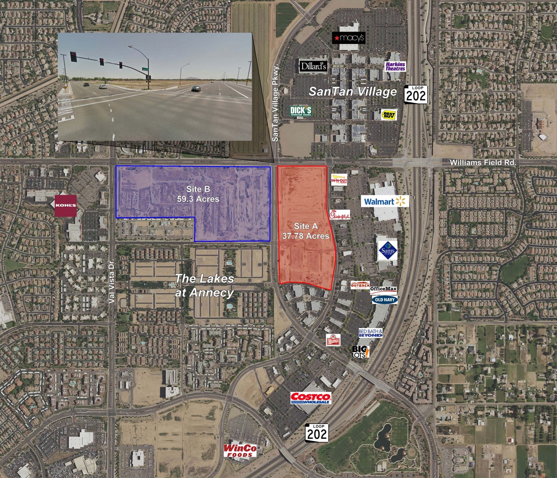
PhotoMapper is a fast, easy-to-use imagery mapping application that allows you to quickly view aerial or satellite imagery. For over a decade, PhotoMapper has assisted professional in the commercial real estate, engineering, utility, government, home builder and land developer markets to quickly access imagery and create high quality maps. The software includes graphics, measuring, import/export tools that provide user the ability to view their market, create/manage custom geographic databases and produce first-class marketing materials without the need for a trained GIS or graphic design expert.
Have imagery but no software to view or manipulate it? Landiscor has the ability to convert your imagery and data layers into a PhotoMapper format to ensure that you can easily display and interact with your data within the mapping environment.
Key Features
- Fast imagery viewing and redraw
- Search Tool – locate area by address, intersection, zip code or city
- Graphics Tools – add text, symbols, regions, create radius rings and logos
- Measure Tool – measure distance and area in any unit
- Auto label streets, cities, counties and more
- Importing – import your own Shapefile in SHP, MID/MIF and DXF file formats
- Exporting – export maps in GeoTIFF, JPG or BMP file formats
- Large format printing/exporting capabilities
- Standard Layers include Local Roads, Major roads, Highways, Freeways, Zip Codes, Cities and Counties
- Includes initial installation assistance and two online training sessions

 click to enlarge
 click to enlarge