Aerial Wall Map Mural – Inland Empire
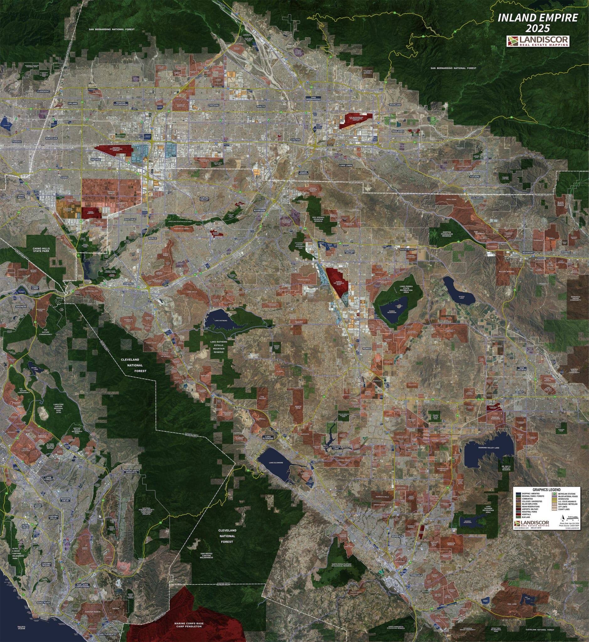
2025 Inland Empire Aerial Wall Mural Map
The Inland Empire wall mural highlights key market elements using a proprietary GIS model to assist real estate professionals, developers, utilities and governments.