


60 Years of Professional Real Estate Mapping
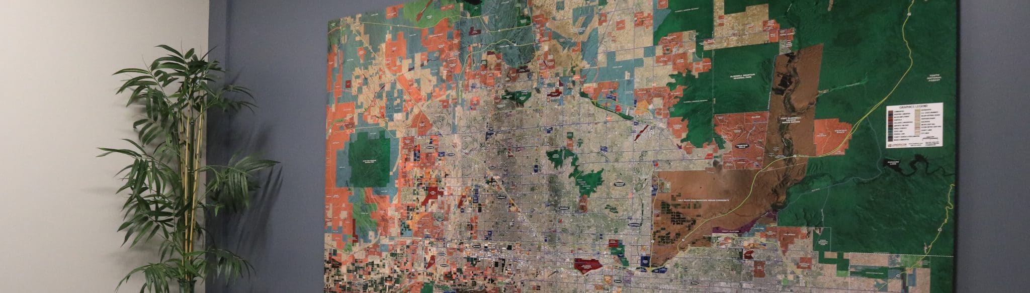
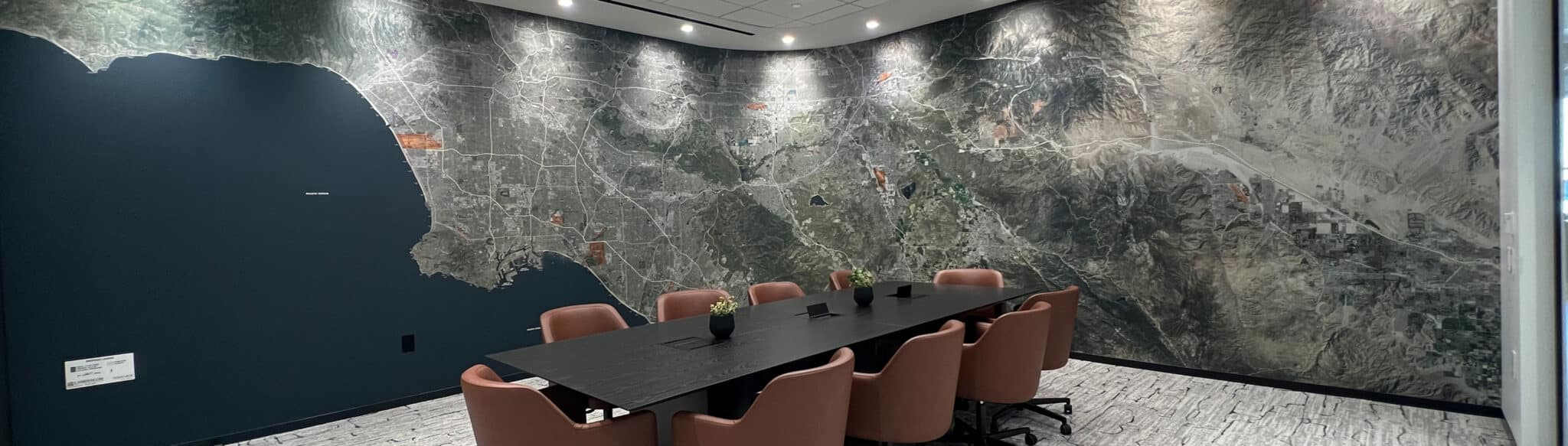
Landiscor Real Estate Mapping is the leading provider of aerial map wall murals for offices and conference rooms nationwide. We integrate high resolution aerial and satellite imagery with insightful GIS data layers to create huge wall-sized displays with exceptional image quality. Landiscor aerial map wall murals serve as functional artwork and can be found in thousands of conference rooms around the country. In addition to our signature wall mural aerial map product, Landiscor also offers digital imagery solutions and smaller rolled aerial maps that contain the same vital information, in a portable format. These informative and professional real estate maps are packed with GIS data and are used daily by our customers allowing them to quickly and easily communicate growth trends, land use and market activity.
Landiscor is a pioneer in aerial mapping and has adapted and evolved over several decades as technology and customer needs have changed. However, one customer need that has remained constant is the demand for professional, high quality aerial map wall murals that provide an impressive view of their entire market. This overhead perspective tells a story of a market’s constantly changing landscape and Landiscor is dedicated to providing this tool to its clients. Our aerial imagery product line has been widely used by companies in a variety of industries since 1955.
Request Information